Tully
The Tully Gold Project is located 25 kilometres northeast of Timmins within the Timmins-Porcupine Gold Camp
The Timmins-Porcupine Gold Camp, including the major Dome and Hollinger mines, is one of the most productive gold fields in the world primarily from high grade multiple vein systems, with more than 70Moz of gold produced to date.
Just under 2km northwest of Tully is the 1.2Moz Au Bradshaw Gold Project of Gowest Gold Ltd., where work is underway to restart mine operations. Within 30 kilometres to the South and Southwest of Tully are significant past and current producing Bells Creek (1.6Moz), Hoyle Pond (4.1Moz), Pamour (5.5Moz) McIntyre (10.7Moz) Dome (16.7Moz) and Hollinger (19.9Moz) gold mines.
It is often said that ‘the best place to find a mine is in the shadow of a headframe”.
Resource
The Tully project includes a historic NI-43-101 compliant resource estimate of 107,000 ounces Au by Francis Minerals Ltd (2013) combined in the Indicated and Inferred categories (uncapped 144,000 ounces Au) range in grade from 5.17g/t to 6.56g/t Au which is considered as potentially economic grade for underground mining. While test work is required to establish the optimum gold recovery process route from ore the occurrence of a significant amount of coarse gold suggests that some of the mineral could be amenable to simple gravity separation.
Geology
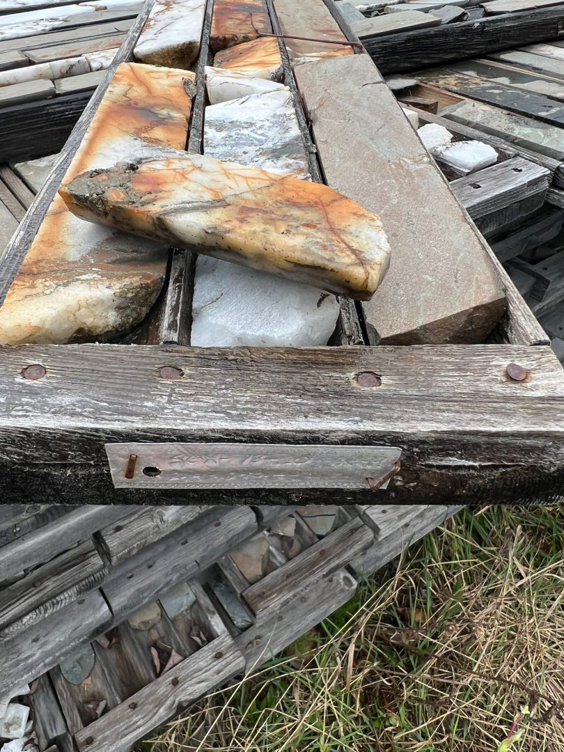
Prospective structures splay off the Porcupine-Destor Fault through the Tully area. Mineralisation at Tully occurs within a 30m wide mafic volcanic unit with an approximate west-southwest strike and steep northerly dip. The hanging wall consists of sedimentary rocks and the footwall consists of ultramafic rocks. As currently understood, the deposit comprises an array of shallowly inclined quartz-carbonate veins or lenses stacked ‘ladder-style’ within the mafic host unit and constrained by its hanging wall and footwall contacts. The higher-grade core of the deposit extends over 600m along strike and 400m down dip and plunges moderately toward the east-northeast. The mineralised veins/lenses host gold primarily within irregular pyrite clusters and commonly as free visible gold, with assays running as high as 2,555g/t Au. Lower order gold values also occur within the host tuff unit outside of the vein systems included in the resource estimate, sometimes over considerable widths.
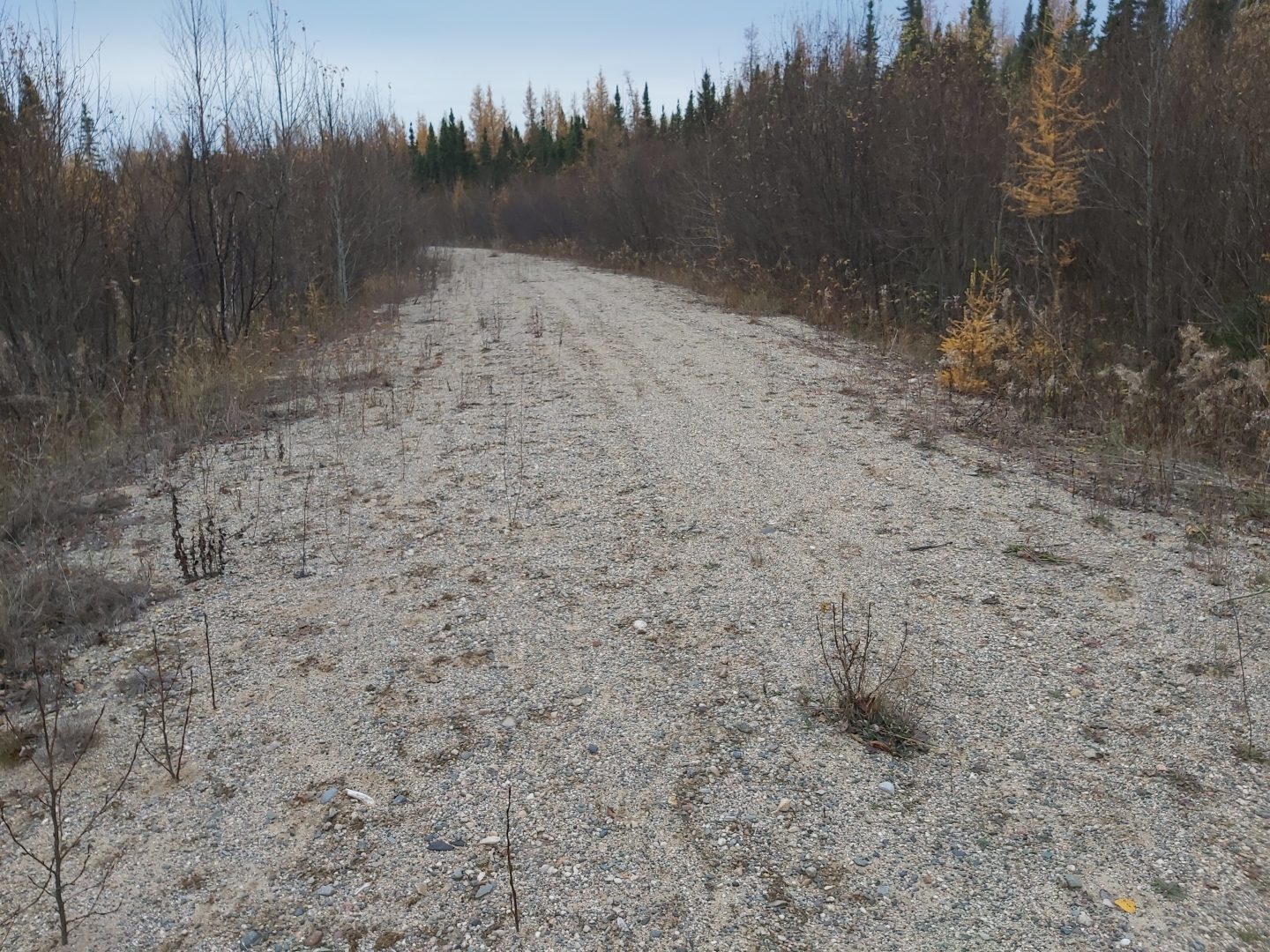
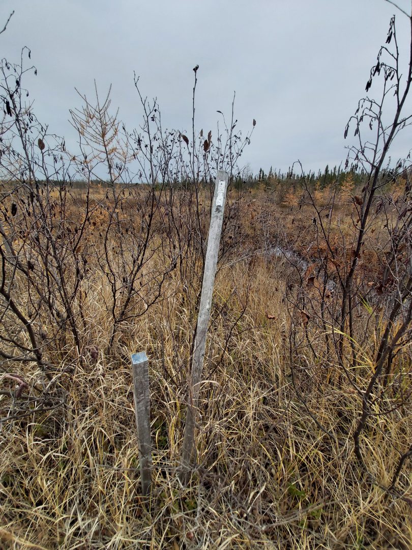
The Tully property occurs within a swampy area and is covered by a blanket of glacial drift, averaging 30m thickness which hid the deposit from early explorers; thus, the geology is entirely derived from drillhole and geophysical data. Exploration by a number of companies over several decades has resulted in the drilling of many holes – the resource estimate utilised data from an extensive database of 356 holes totalling 91,623m, with 718 vein intercepts being interpreted and incorporated into the lens wireframes.
Expansion opportunities
The gold resource is delineated over 600 metres of 1,600 metres of strike and in parts down to 400 metres. High priority expansion potential of the resource is though infill drilling and drilling along strike and down plunge to the NE.
- holes excluded from the resource include holes 69-04 with 203.3g/t Au over 0.6m, 69-069A with 36.4g/t Au over 3.5m and 69-12 with 11.2g/t Au over 5m.
- holes at depth down plunge to the northeast beyond the current resource include hole 13-22 with 8.00g/t Au over 6.5m at 600 metres depth.
- hole 13-15 reported 20.1g/t Au over 14.1m at 247.35m which indicates potential for resource extension at depth and to the east.
The 2013 resource estimate worked to a cut-off grade which used US$1,500/oz gold price and an unfavourable CAD/USD exchange rate of 1.02. An updated resource estimate using more current parameters may allow utilisation of a revised cut-off grade which could expand the Tully resource.
Additional prospective structures exist within the Tully project that are yet to be tested.
Other Timmins deposits
Historical development of similar nuggety gold vein deposits in the Timmins camp, such as the Dome mine, has tended to substantially expand the deposits once underground development is carried out and many extend to considerable depth. It has been noted at Dome that 40 to 60% of drill holes completed through multi-vein gold structures and 50 to 80% of holes completed through single vein structures failed to return any gold values in excess of 1.7g/t in areas that were ultimately mined. This suggests that eventual underground exploration development at Tully has the potential to significantly expand the deposit.
Another example of underground operations significantly expanding resources is Hoyle Pond. The economic gold potential at Hoyle Pond was not realised until 1980-82 drilling led to reserves estimate of 199,637 tonnes grading 15.1g/t gold. Followed by development of a ramp system in 1983-4, the first year of mining yielded 64,400 tonnes at an average grade of 13.0g/t gold. Aggressive development followed of a central 815m deep shaft occurred to exploit the deposit further. (Goldcorp Diamond Drill Report for Assessment Purposes Hoyle Pond Mine, Timmins, Ontario, October 2015). Over 30 years later the Hoyle Pond deposit has produced over 4.1Moz gold and at a vertical depth of over 2,000 metres.
Several major deposits in Timmins have been developed to significant vertical depths
Mine – vertical depth in metres – ounces of gold – years of production
Hollinger Mine – >1,500 metres – 19.4Moz – >60 years
McIntyre – >2,000 metres – 10.7Moz – >5 years
Dome – >1,500 metres – 16.6Moz – >105 years
Pamour – >500 metres – 5.4Moz – >73 years
Hoyle Pond – >2,000 metres – 4.1Moz – >30 years
- Established mine camp with excellent infrastructure
- Along the prolific Timmins-Porcupine Gold Belt which has produced >70Moz
- Historic NI-43-101 consistent gold resource of 107,000 ounces; with 76,000 ounces at 6.56g/t Au in Indicated category and 31,000 ounces at 5.17g/t Au in Inferred category, which is considered as economic grade for underground mining
- Historic drilling includes 2,555g/t Au over 0.5 metres within 322g/t Au over 5.7 metres


