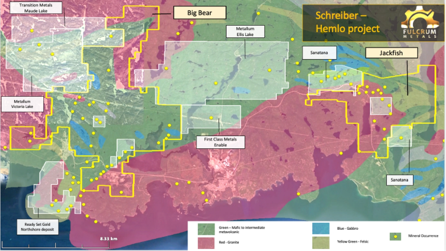
The Big Bear Project is situated over the Western end of the Schreiber-Hemlo Greenstone belt.
Big Bear
Focussed on unlocking the significant potential of Big Bear
The Big Bear Project is situated over the western end of the Schreiber-Hemlo Greenstone belt. Geology consists of packages of metavolcanic rocks with mafic intrusions and banded iron formations, broadly folded about an east-southeast trending synclinal axis. The granitoid intrusive boundary of the Terrace Bay Batholith runs along the southern edge of the property whilst the Syenite Lake Pluton borders Big Bear Lake.
Priority Investigation
Fulcrum will initially focus on four key target areas, with exploration permits granted April/May 2022 effective for three years for the main targets:
- Little Bear Lake
- Historical bulk sampling reported 1t averaging 1,419g/t
- High priority AEM & Mag targets
- Schreiber
- 1.6km gold trend with assays of 6m at 1.5g/t Au
- Rock chip samples of up to 53.7g/t Au and 19.25 g/t Ag
- Soil anomalies ranging up to 0.71g/t Au extending up to 250m wide and open along strike
- Historical drill intersections include 0.55m at 19.2% Zn and 4.6% Cu from 15.2m depth
- Historical bulk sampling reported 150t averaging 17.6g/t Au
- Gold bearing quartz veins within six separate areas (two with rock and vein samples grading 1 to 5 g/t Au, four with quartz vein sample assays above 5g/t Au, and two quartz samples collected at 50m separation on an EW trending vein open in both directions returning 105.5g/t Au and 112g/t Au respectively).
- High priority AEM & Mag targets
- Work to date including rock sampling, soil sampling and mapping implies a structure linking Johnson Mckenna and Pyramid Schreiber occurrences as an exploration target
- Big Duck
- High priority AEM & Mag targets
- Hays Lake East
- Overlies the interpreted northern intrusive contact of the Terrace Bay Batholith, targeting
- The Joa-Walton gold occurrence – at least three quartz veins with government assays up to 233g/t Au & 258g/t Ag
- Potential eastern extensions to the historic Jedder gold. Historical gold production was not reported but channel sampling of an 87m long section of the Mill Vein in 1984 reportedly yielded values up to 35.3g/t Au /t Au & 73.17 g/t Ag over 0.5m.
Quick Facts
- 253 geophysical anomalies identified of which 39 designation for priority investigation
- Gold in soil anomalies identified 4/5 area ranging up to 0.71g/t extending up to 250m wide and open along strike
- Gold bearing quartz veins have also been outlined within seven separate areas
- Work to date including rock sampling, soil sampling and mapping implies a structure linking Johnston-McKenna and Pyramid Schreiber occurrences as an exploration target
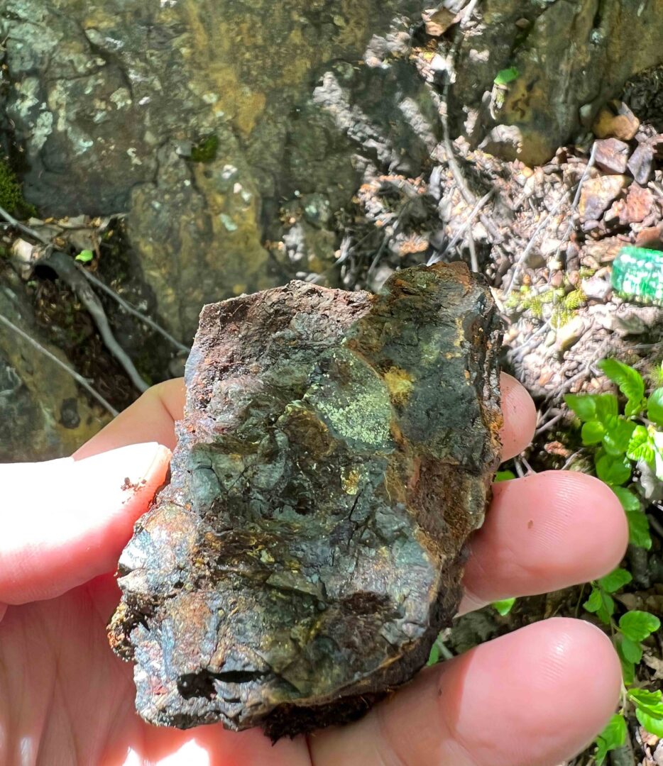
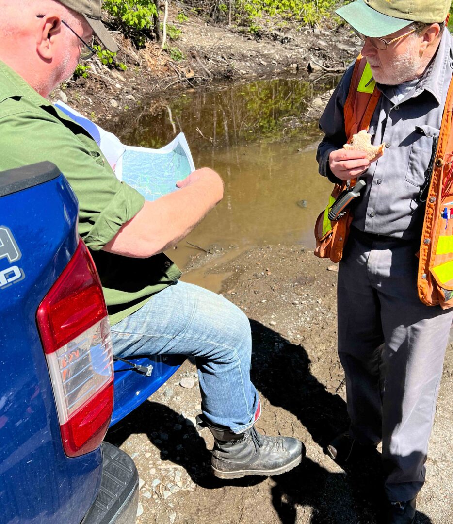
Gallery
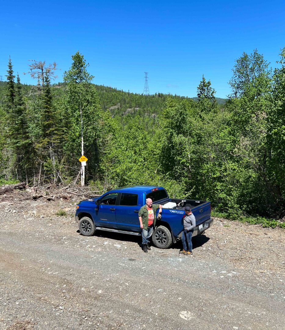
Arriving at the bush entrance to Cook Lake
Cook Lake Banded Iron Formation
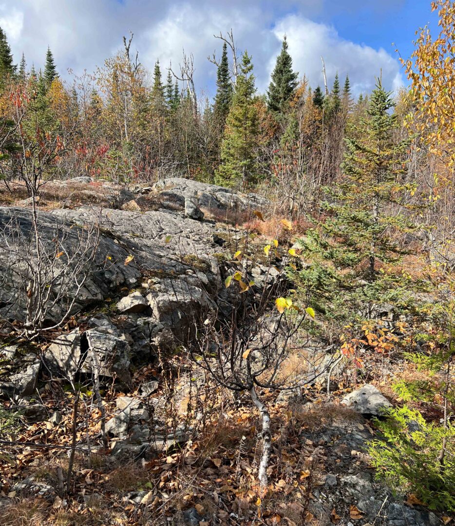
Outcrop Schreiber area
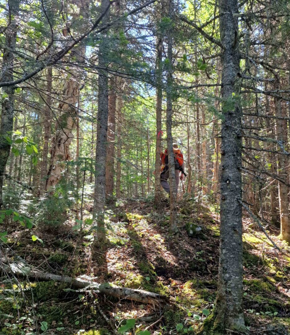
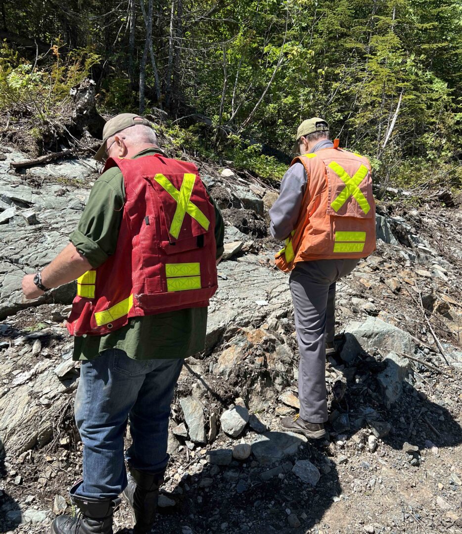
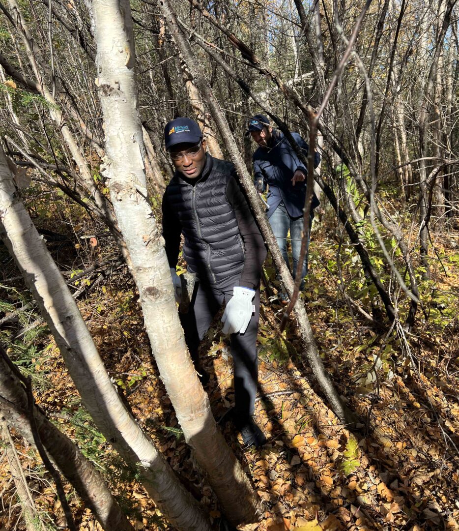
In the bush trekking to the Schreiber Pyramid
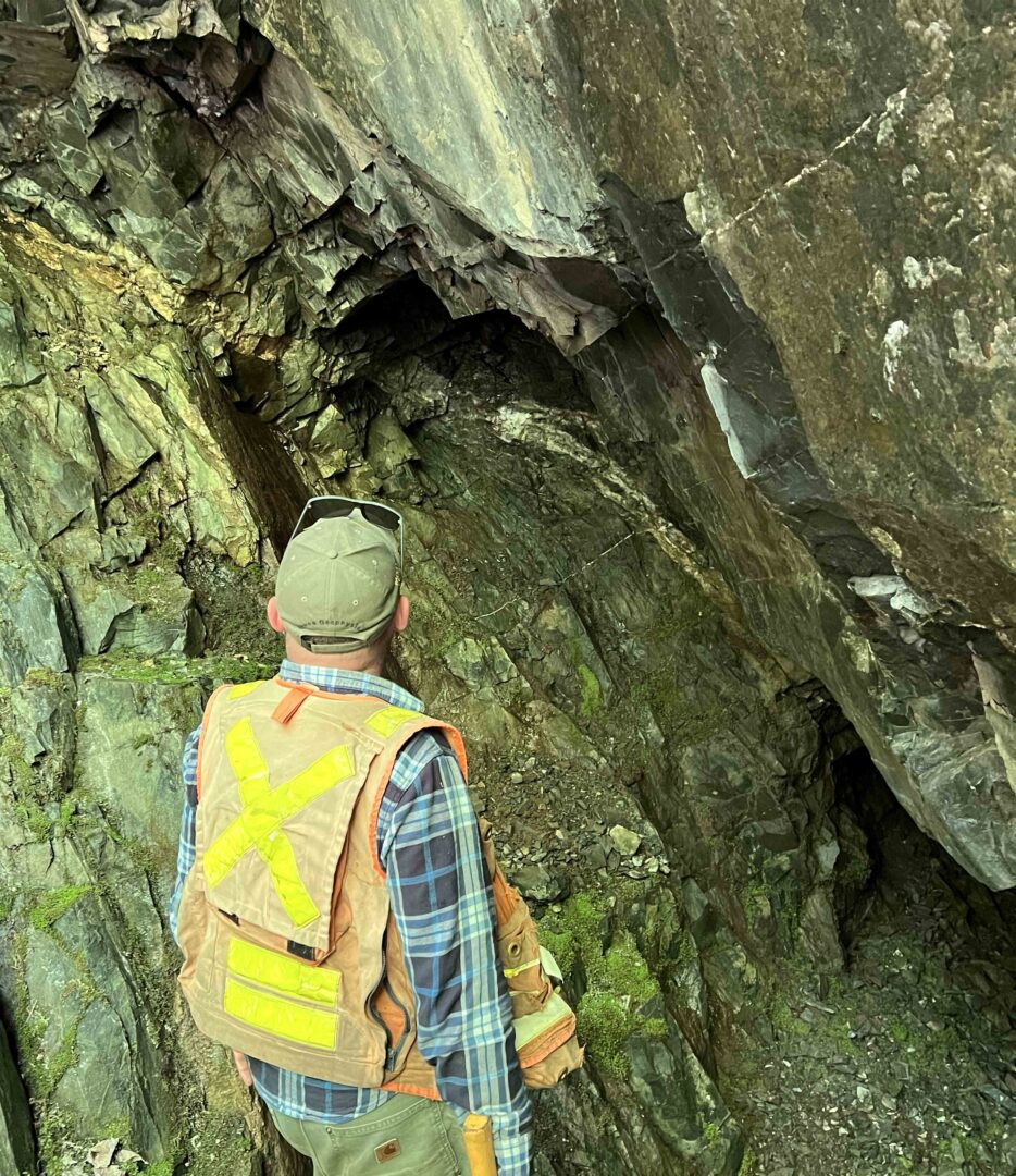
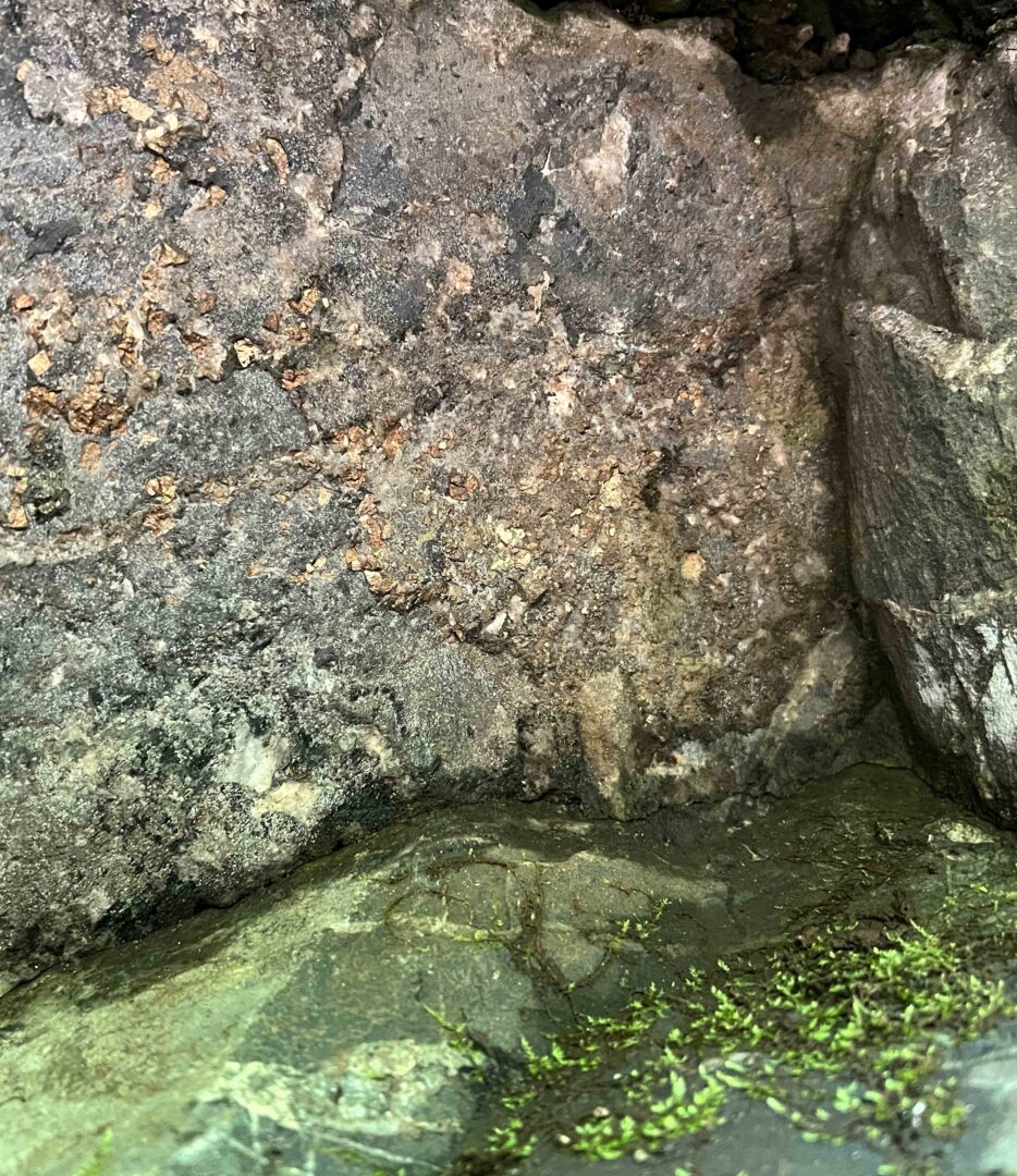
Inspecting historic mine activity at Schreiber Pyramid
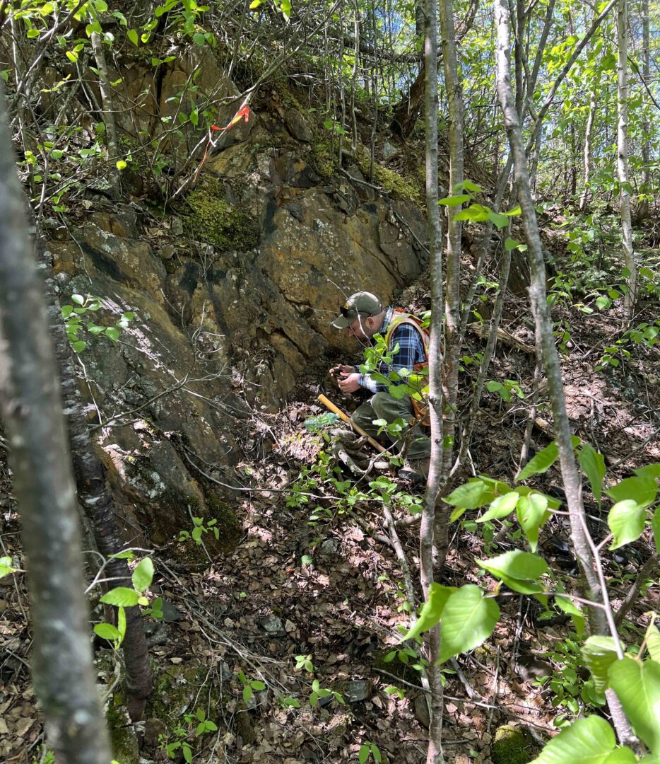
Inspecting new outcrop structure nearby Johnston McKenna
Inspecting the Cook Lake Banded Iron Formation outcrop
Johnson Mckenna trail
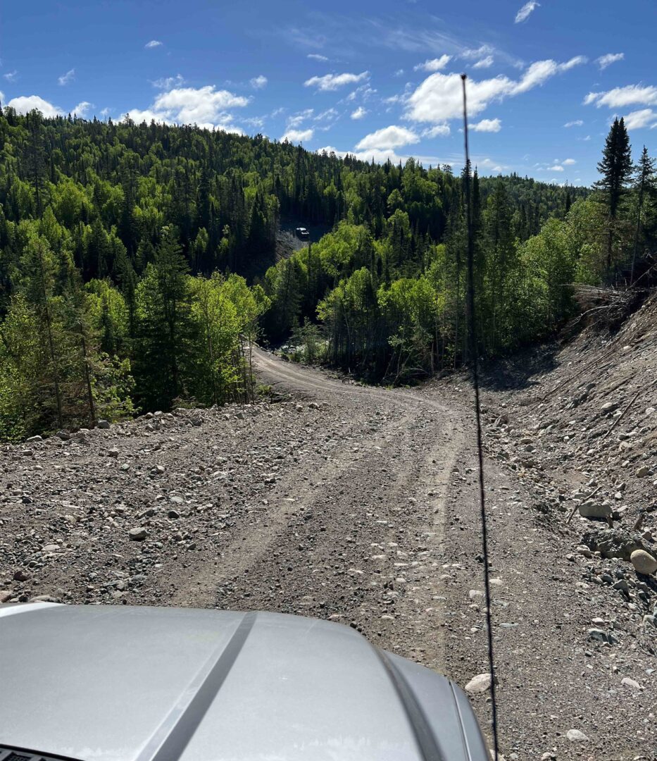
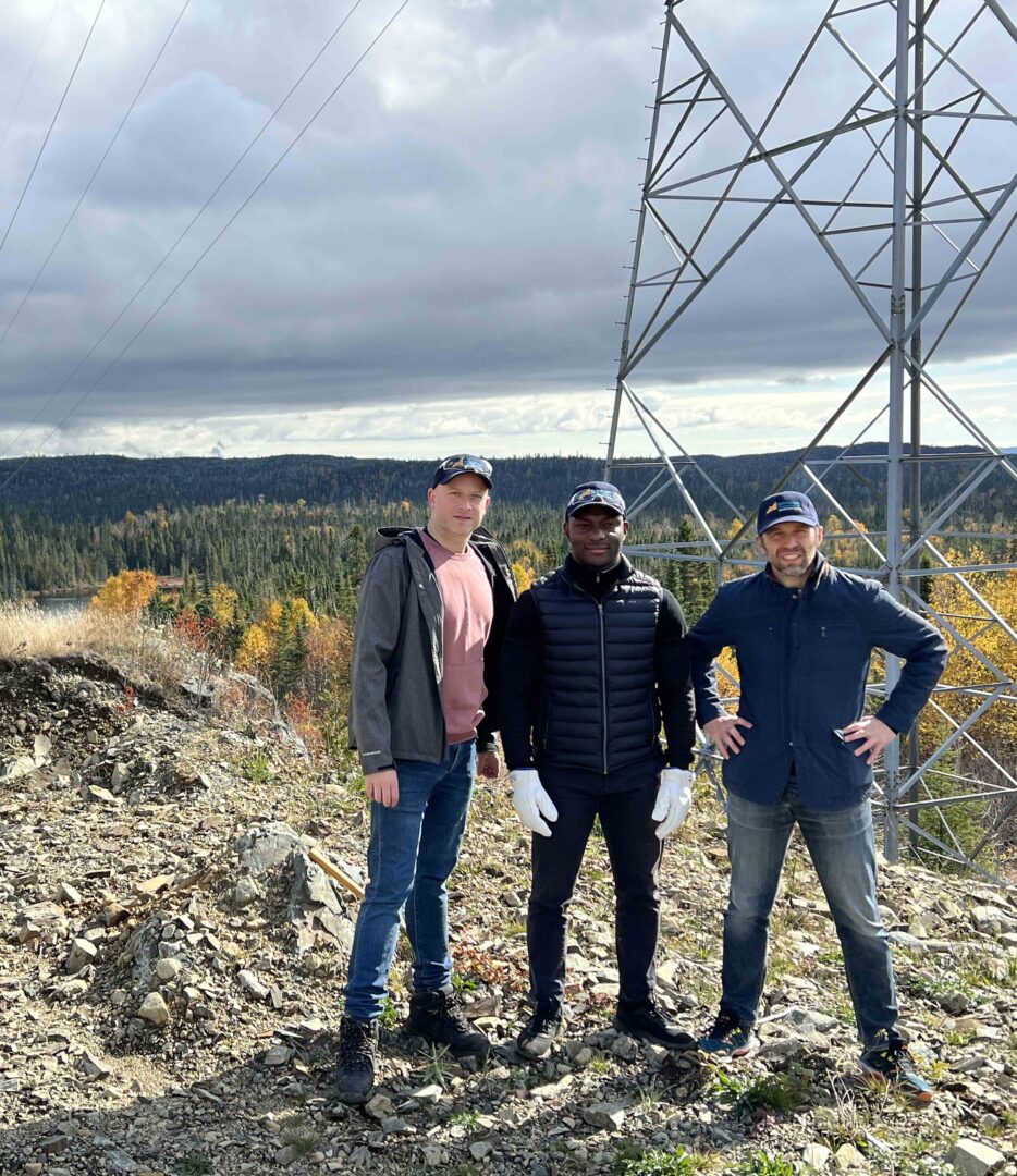
Powerline road access to Big Bear
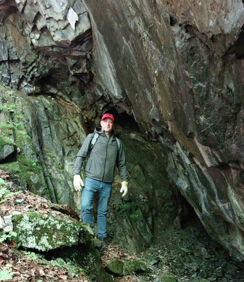
Ryan at Schreiber Pyramid
Schreiber Pyramid
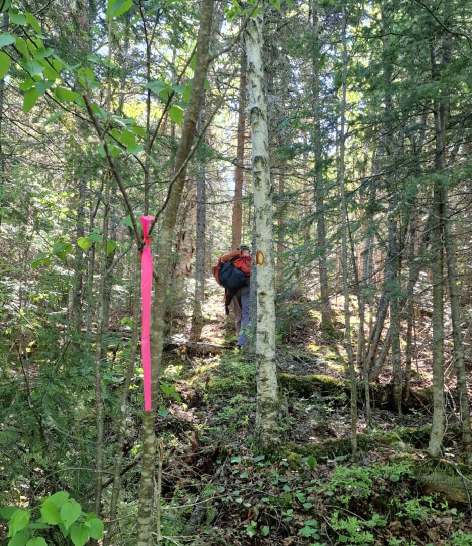
Trekking to Schreiber Pyramid
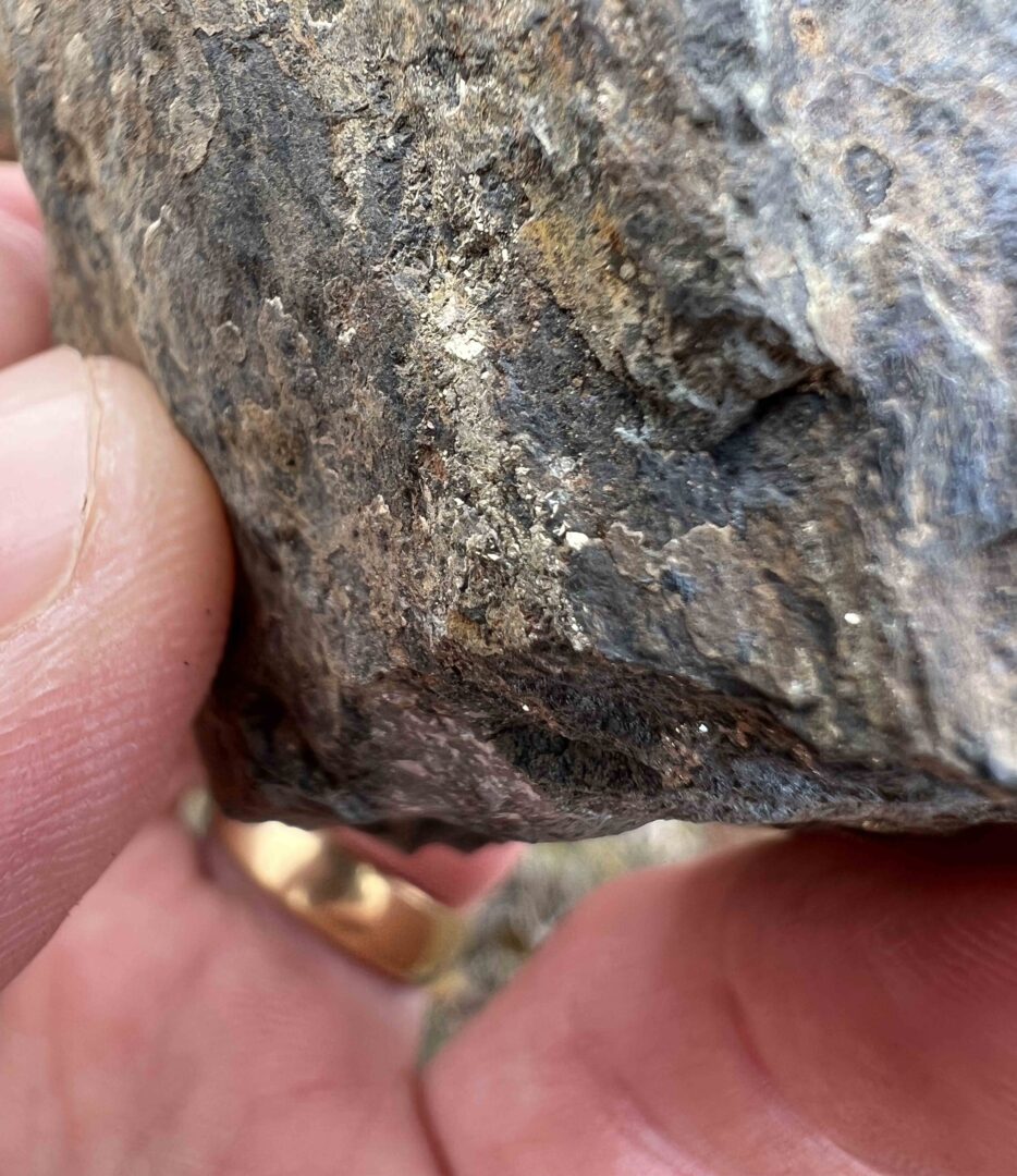
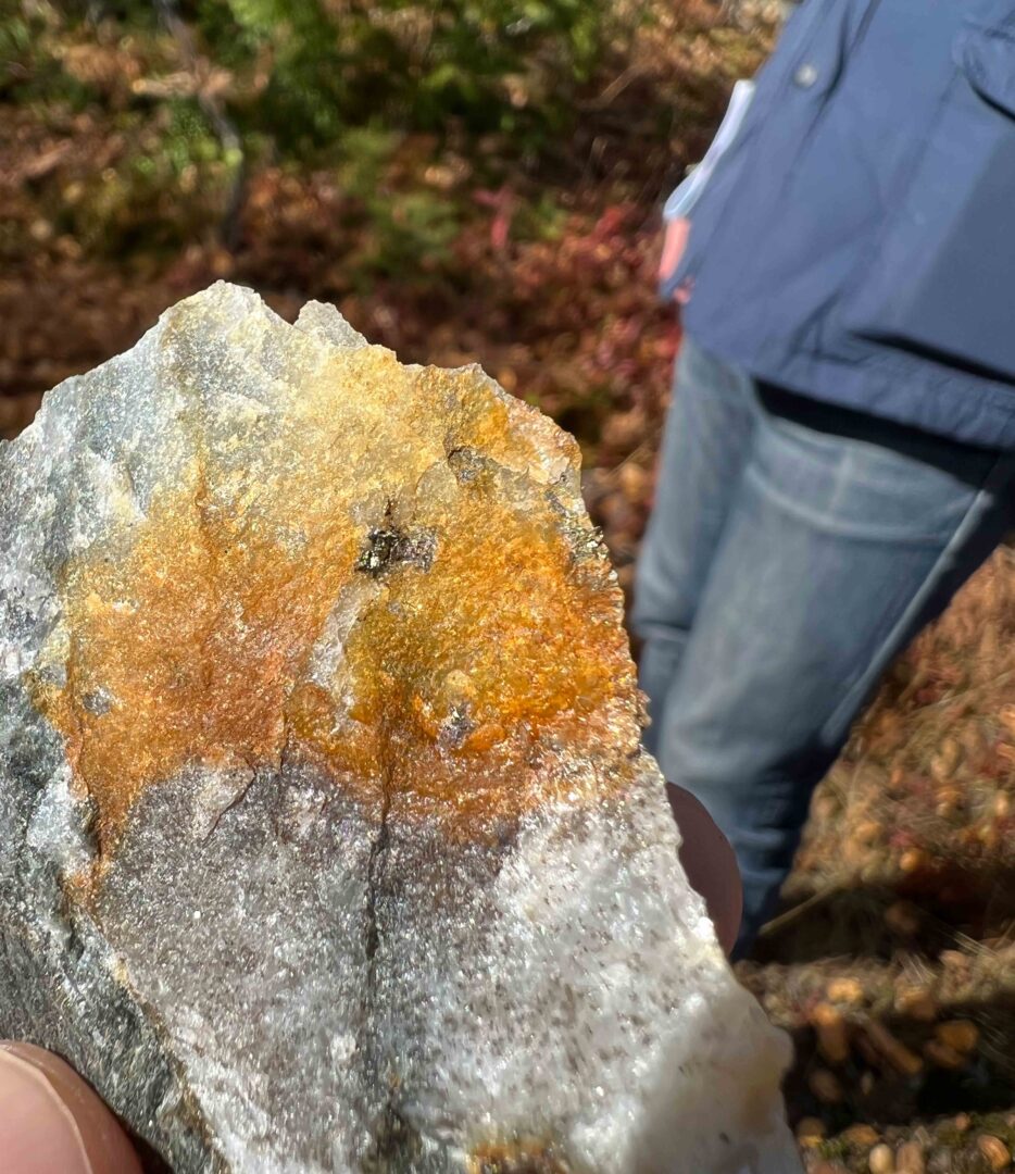
Twomey Powerline mineralised rock
Map